Zhongzhengshan Trail
中正山步道
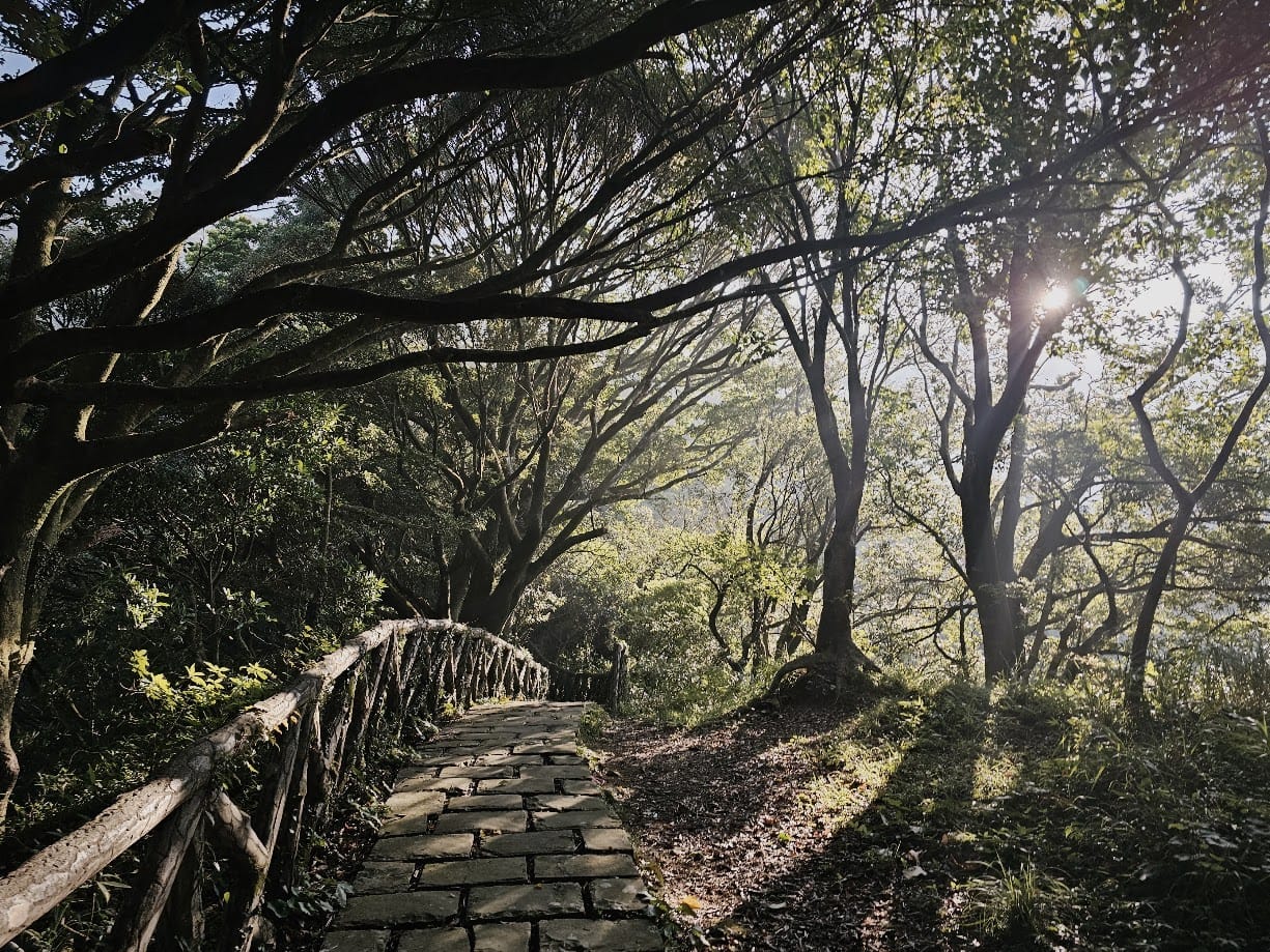
Chungcheng Mountain
Jhongjheng Mountain
Chung Cheng Mountain
About this trail
Climb a steep stone staircase to enjoy sweeping views of Beitou, the Keelung River, and the iconic volcanic peaks of Yangmingshan National Park
Trail condition
No hands-on climbing is normally required.
No significant exposed sections or dangerous drop-offs.
The trail is well defined and generally easy to follow.
Getting there
By Public Transport
Trailhead:
From MRT Beitou Station(Red Line)
1) Take Bus S7 toward Lingtou and get off at Zhongzheng Mountain Hiking Trail Entrance
By Car
Trailhead:
Navigate to “Zhongzheng Mountain Hiking Trail Entrance” on Google Maps. Parking in the area is limited; public transport is recommended.
History & culture
Trail Name
Zhongzheng Mountain was originally known as Mt. Mituo because of the temples on its slopes. It was later renamed in memory of Chiang Kai-shek, making the mountain a reminder of Taiwan's authoritarian era.
Shibafen Settlement
The nearby Shibafen Settlement dates back to the early Qing Dynasty, when eighteen families from Quanzhou jointly cleared and cultivated the land, giving the area its name, which means "Eighteen Shares."
Wildlife
The trail is home to over 100 butterfly species—nearly one-quarter of Taiwan's butterfly diversity—as well as crested serpent eagles, colorful native birds, tree frogs, and a rich chorus of insects throughout the seasons.
Flora
The trail passes through orchards, farmland, grasslands, and broadleaf forests, creating a diverse habitat where acacia, sweet gum, laurels, and many native shrubs and wildflowers thrive.