Takuan shan Trail
塔關山登山步道
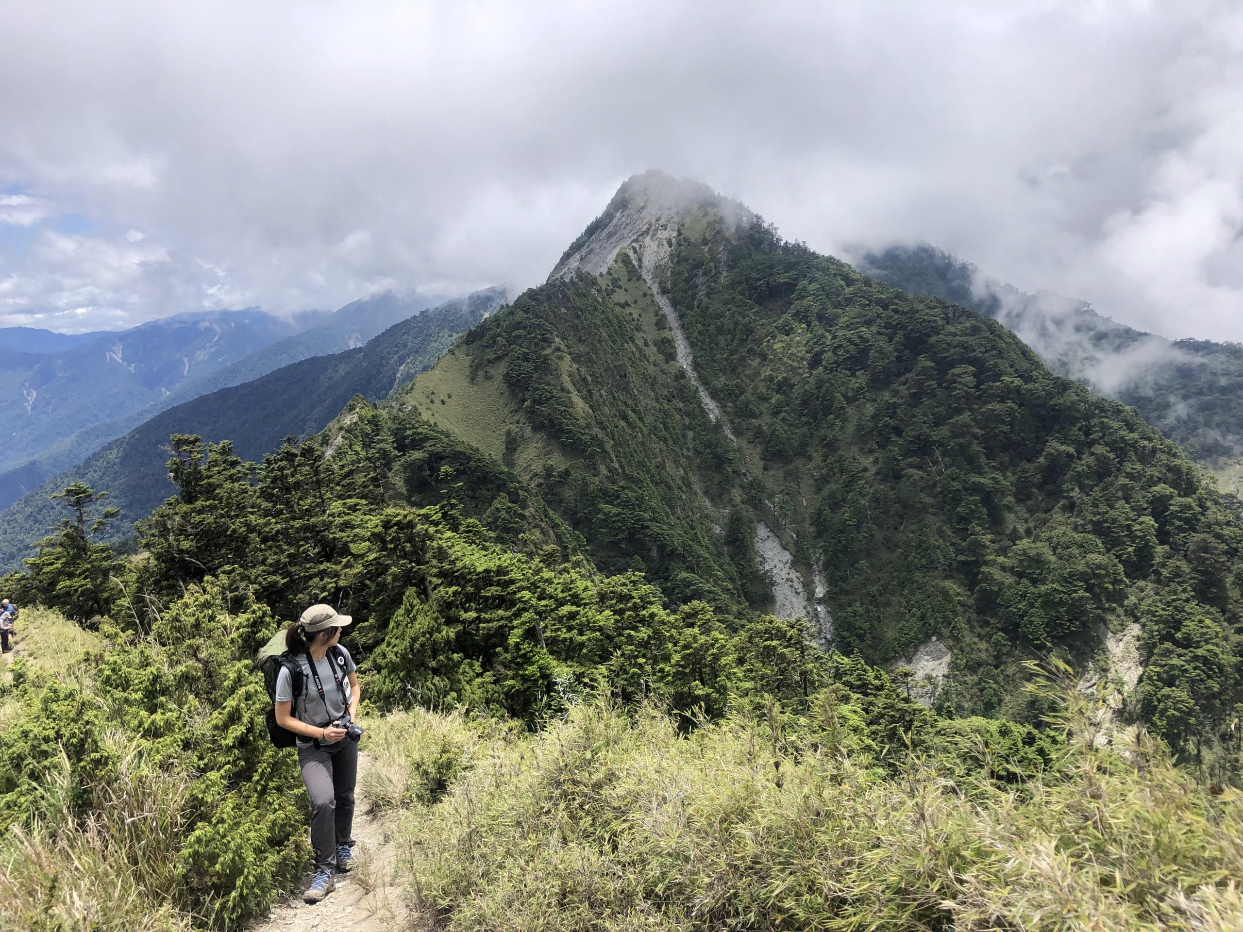
Taguanshan Trail
Mt. Takuan Trail
Mt. Taguan Trail
About this trail
Takuan shan, the highest of the Southern Cross-Island Highway Three Peaks, features cool cedar forests, bamboo groves, dramatic ridge views, and one of Taiwan's most accessible Hundred Peaks hikes.
Trail condition
No hands-on climbing is normally required.
No significant exposed sections or dangerous drop-offs.
The trail is well defined and generally easy to follow.
Getting there
By Public Transport
There is currently no public transportation to the Takuan shan Trailhead. Visitors are advised to drive or arrange a private transfer.
By Car
Trailhead:
Navigate to “Taguanshan Trailhead” on Google Maps. Very limited parking is available near the trailhead. Hiring a private car with a driver is strongly recommended.
Important:
The trailhead is located along the Southern Cross-Island Highway (Provincial Highway 20), within the Meishankou–Xiangyang section. This section has restricted opening hours:
Friday–Monday: 7:00 AM–2:00 PM
Overnight parking is not permitted.
https://thbu3.thb.gov.tw/cp.aspx?n=11472
History & culture
History & Culture
The Takuan shan Trail follows part of the historic Guanshan Cross-Ridge Trail, originally built as a Japanese-era patrol route. Once Taiwan's longest mountain trail, much of its original path was replaced by the Southern Cross-Island Highway, leaving only a few restored sections that preserve its rich cultural heritage.
Wildlife
Takuan shan is home to diverse alpine wildlife, including Formosan sambar deer, Taiwan macaques, yellow-throated martens, wild boars, serows, barking deer, giant flying squirrels, and several native squirrel species, making it an excellent destination for wildlife observation.
Flora
The trail passes through beautiful montane forests of Taiwan hemlock, Taiwan red cypress, Taiwan white pine, Taiwan black pine, alpine bamboo, and native shrubs, creating a rich variety of plant communities that change with elevation.
Landscape
Takuan shan is famous for the dramatic Guanshan Great Cliff, where steep mountainsides plunge into the valley below. Although the Southern Cross-Island Highway traverses rugged terrain, the trail remains one of the most accessible Hundred Peaks hikes, rewarding hikers with expansive alpine scenery.