Qingtiangang Trail
擎天崗環形步道
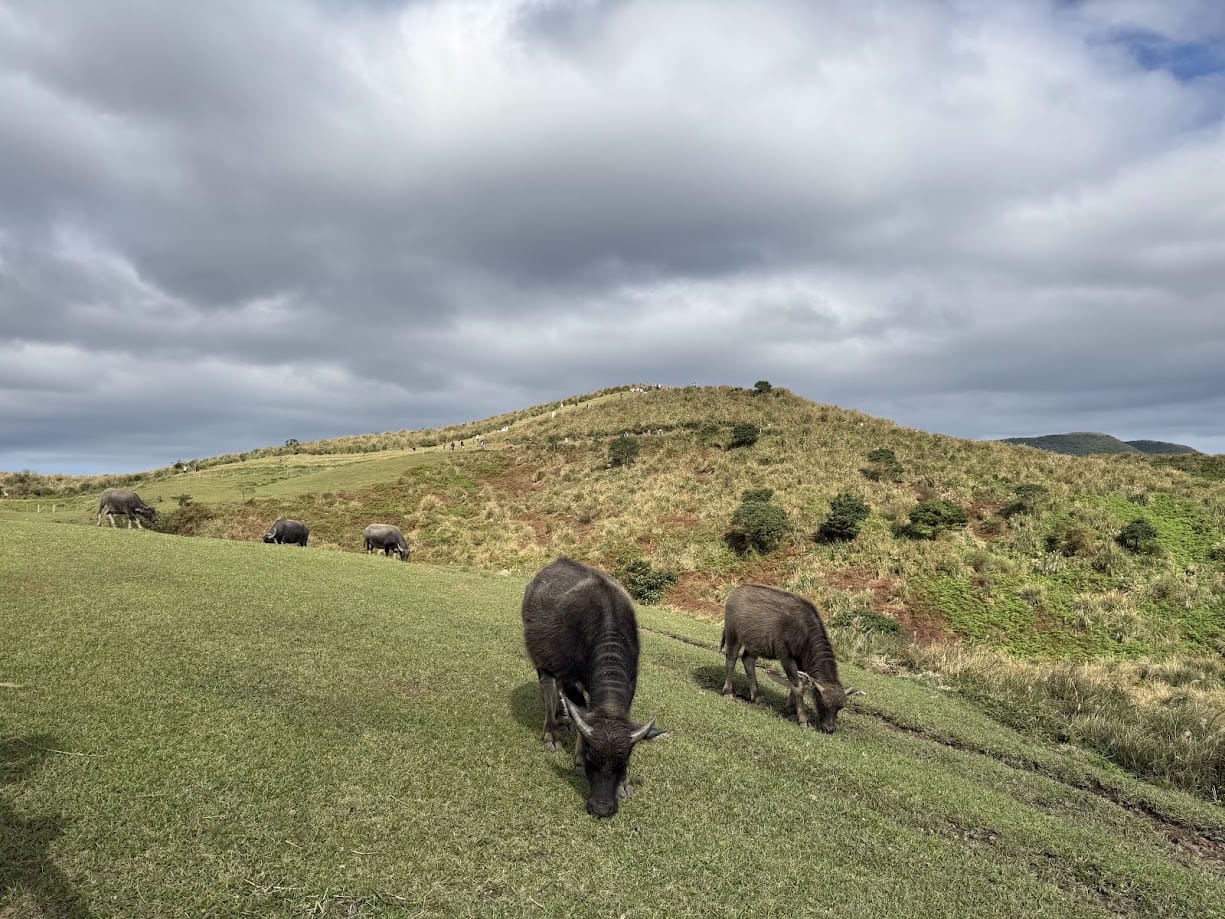
Photo credit: 寶
Alternative spellings:
Qingtiangang Loop Trail
Qingtiangang Grassland Circular Trail
Qingtiangang Loop Trail
Qingtiangang Grassland Circular Trail
About this trail
Qingtiangang Trail features a gentle loop across expansive grasslands, where visitors can enjoy scenic mountain views, grazing water buffalo, and a relaxing walk perfect for families, picnics, and nature lovers
Trail condition
Scrambling
Walking only
How much hands-on movement is required?
No hands-on climbing is normally required.
Exposure
Low exposure
How serious are the consequences of a fall?
No significant exposed sections or dangerous drop-offs.
Navigation
Easy to follow
How easy is the route to follow?
The trail is well defined and generally easy to follow.
Getting there
By Public Transport
Trailhead:
From MRT Jiantan Station or MRT Shilin Station (Red Line)
1) Take Bus S15 toward Yangmingshan and get off at Qingtiangang Visitor Center.
By Car
Trailhead:
Navigate to “Qingtiangang Visitor Center” on Google Maps. Limited parking is available nearby