Jian cing Historic Trail
見晴懷古步道
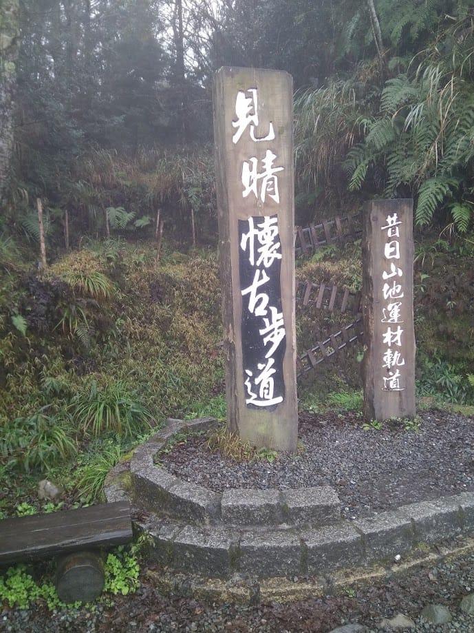
Jianqing Historic Trail
Jancing Historic Trail
About this trail
Follow the former Taipingshan forest railway through a moss-covered forest, where panoramic mountain views, seas of clouds, and historic railway remains create an unforgettable hiking experience.
Trail condition
No hands-on climbing is normally required.
No significant exposed sections or dangerous drop-offs.
The trail is well defined and generally easy to follow.
Getting there
By Public Transport
Trailhead:
1) Go to Yilan Bus Station or Luodong Bus Station
2) Take Kuo-Kuang Bus 1750 (weekends and holidays) or 1750A (weekdays) toward Taipingshan Station and get off at Jiancing Historic Trail
By Car
Trail Trailhead:
Navigate to Jianqing Historic Trail on Google Maps. Limited parking is available nearby.
History & culture
History & Culture
Jianqing Historic Trail follows a former logging railway in Taipingshan, once one of Taiwan’s three largest forestry centers. The trail preserves old cypress railway bridges, switches, and rail equipment, offering hikers a glimpse into Taiwan’s rich forestry heritage and the legacy of its mountain railways.
Nature
The trail passes through cool, misty forests of Taiwan cypress, red cypress, ferns, and mosses. Wildlife includes Formosan squirrels, colorful butterflies, Taiwan blue magpies, and the rare Mikado Pheasant, often called the “King of the Mist” for its graceful appearance.
Climate
At around 1,950 meters above sea level, the trail enjoys cool temperatures year-round, typically 12–15°C lower than the lowlands. Frequent rain, dense fog, and high humidity create a lush forest environment, while winter occasionally brings snowfall, adding to its unique mountain scenery.